Benton County Towns Ignored By Early Maps
By J. Dickson Black
It would be hard to prove from early maps of Arkansas just when any of the towns were founded. The territory map of Arkansas by Augustus Mitchell in 1836 shows Washington County as 50 miles square, taking in all of what today is Washington, Benton and Madison counties. The only towns listed then were Fayetteville, Cane Hill and Vineyard.
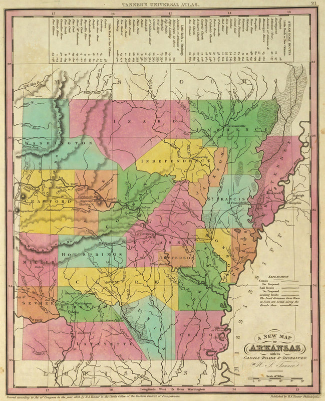
This early map of the Arkansas Territory from 1836 is by Tanner. You might notice there is no Benton County at this time.
Tanner's Universal map of 1836, shows the three county area but not with the same boundaries as exist today. Here too, the only towns shown were Fayetteville, Cane Hill and Vineyard.
The first time there was a town listed in Benton County was in 1842 on Jeremiah Greenleaf's map of Arkansas. He listed Bentonville.
The first time there was a town listed in Benton County was in 1842 on Jeremiah Greenleaf's map of Arkansas. He listed Bentonville.
This map is from 1845. The only readable towns are Bentonville and Osage Spring.
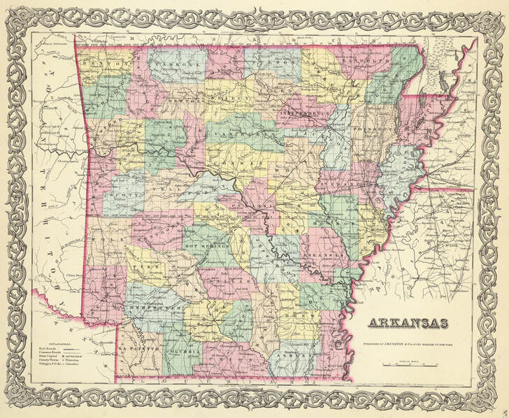
In 1855 Joseph Hutchins Colton's map of Arkansas was the first to show very many towns in Northwest Arkansas. In Benton County, he showed Bentonville, Maysville, Osage Mills, Robinson, and Double Springs. In Washington County: Fayetteville, Elm Springs, Hiloche, Boonsboro, Evansville, Taney and Boone Grove. In Madison County: War Eagle, Huntsville. Titsworth, St. Paul and Cobbsville.
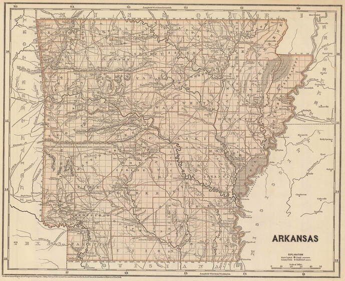
On this 1856 Arkansas map there were still only a few towns listed: Bentonville, Mayville, Osage Mills, Robinson, Double Springs
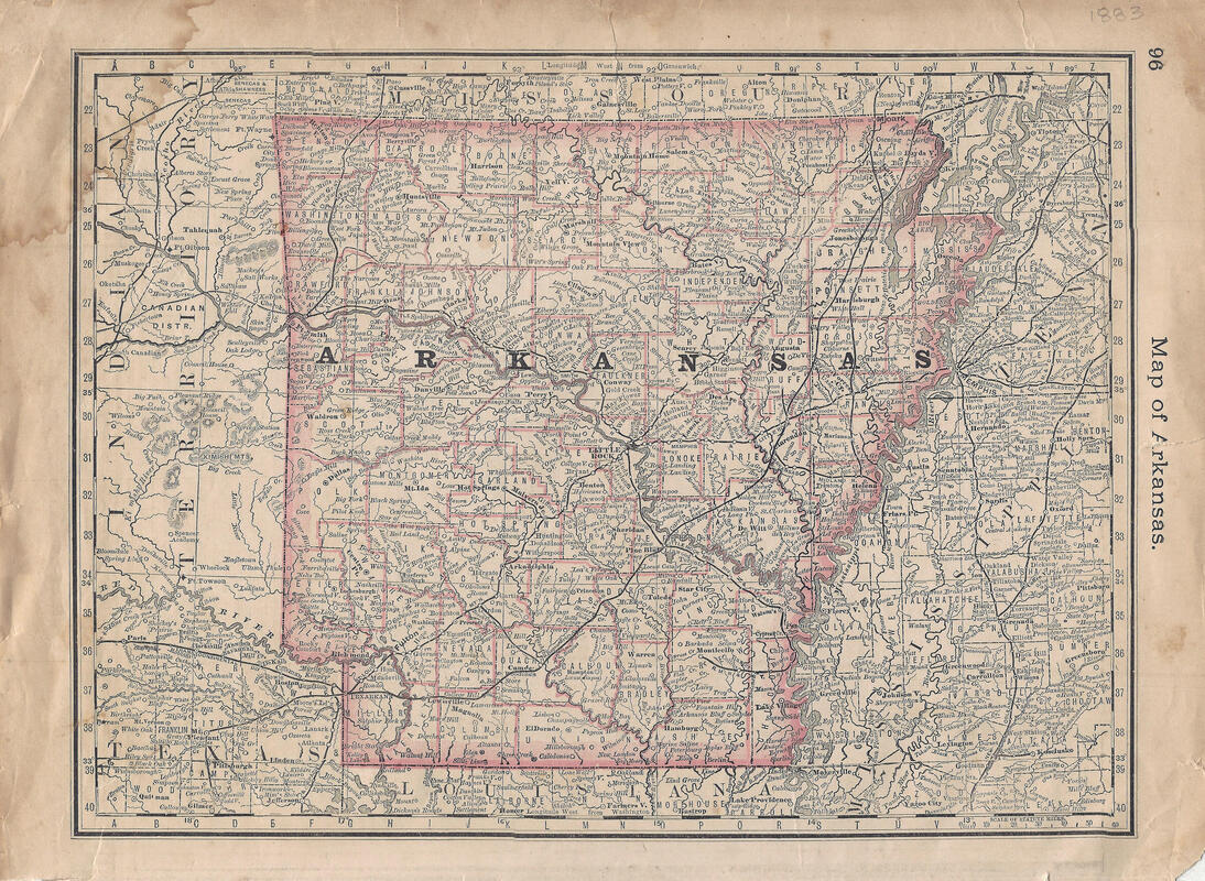
By the time this map was printed in 1883. It showed the communities of Bentonville, Rogers, Avoca, Maysville, Pea Ridge, Bloomfield, Double Springs, Rogers, Cross Hollows, Lowell, Hico and Hickory or Bloomington.